Northumbrian Climbing Guide |
||||||||||
|
|
|
Redesdale
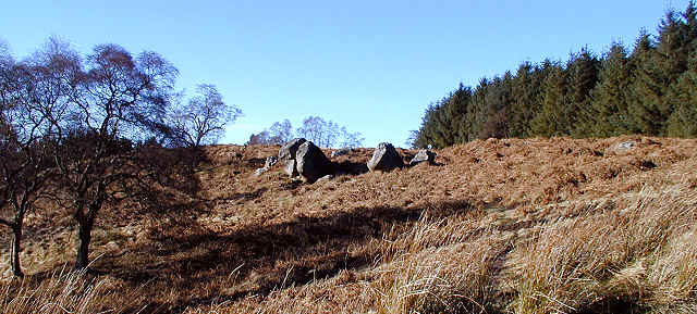
In it's upper reaches Redesdale, locally pronounced "Ridsdale", is dominated by the Redesdale and Keilder forests, particularly to the south. Northwards the forest soon gives way to moorland which runs unbroken into the Cheviot and Harbottle Hills. There is little doubt that the large tract of moorland, moss and scrubby woodland which stretches to the north owes its survival to the fact that the MOD maintain these moors as firing ranges. Regular visitors to Redesdale (or Coquetdale to the north) may form the impression that the red flags have been glued to the poles, but this isn't true - they are checked every morning and they don't lie. For permission to access the moors phone the range commanders offices on either 0191 239 4261 or 0191 239 4262.
There are only three crags in the valley, and these aren't particularly good. Other crags marked on the OS maps have all turned out to be worthless for climbing and are usually miles from anywhere.
Alphabetical list of crags
Crags shown in red have full guides online, either bouldering, routes or both.
The star ratings relate to the best of either type. The colours represent the rocktypes. See here for details.
 | Ellis | | Great Dour | | Huel |